Posted by
aohnstad
Joined Jun 10, '16
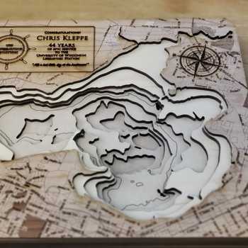
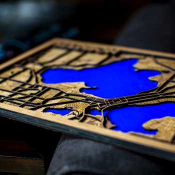
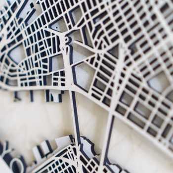
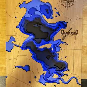
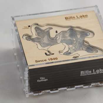
We have been taking our seven-year-olds on lots of walks around the neighborhood for the last two months. I wanted them to begin to see the neighborhood as an integrated landscape rather than just rows of houses going by, so I made this. It is made up of 13 topographic layers cut from white presentation board (1.2 mm thick) and housed in a closed box. Water features are of blue laid paper my wife had laying around. The neighborhood’s streets are engraved on the acrylic upper panel. Each topo layer represents 20 feet of elevation.
It’s been fun to see them plotting routes for our walks on the map, and to see them beginning to understand the ways that topography impacts their movements and lets them predict where they might find water…


Start with an idea. Create your design. Hold something in your hand you only imagined an hour ago. Glowforge makes that possible.

From idea to design to creation. No matter what you want to make your Glowforge can help you make it happen.